2012 天然災害減災國際研習營 International Training Workshop on Application of Information Technology on Disaster Risk Reduction and Emergency Preparedness
2012.05.14
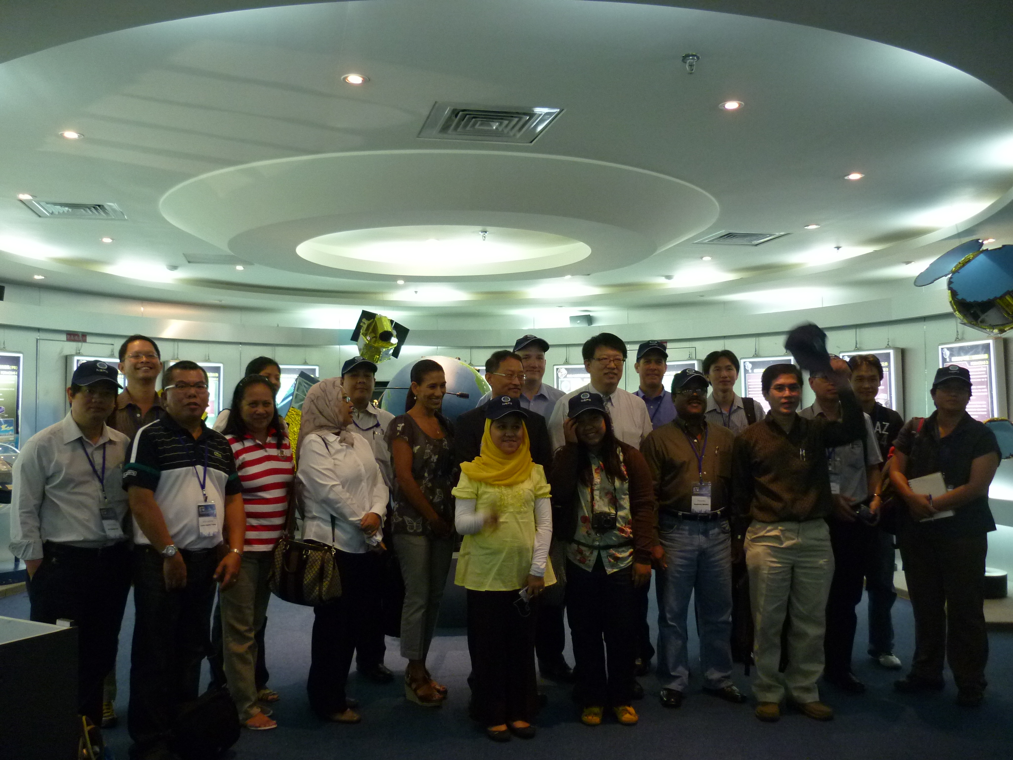
日期: 2012/05/14 - 2012/05/18
地點: NCDR, 新北市, 台灣
事件內容:
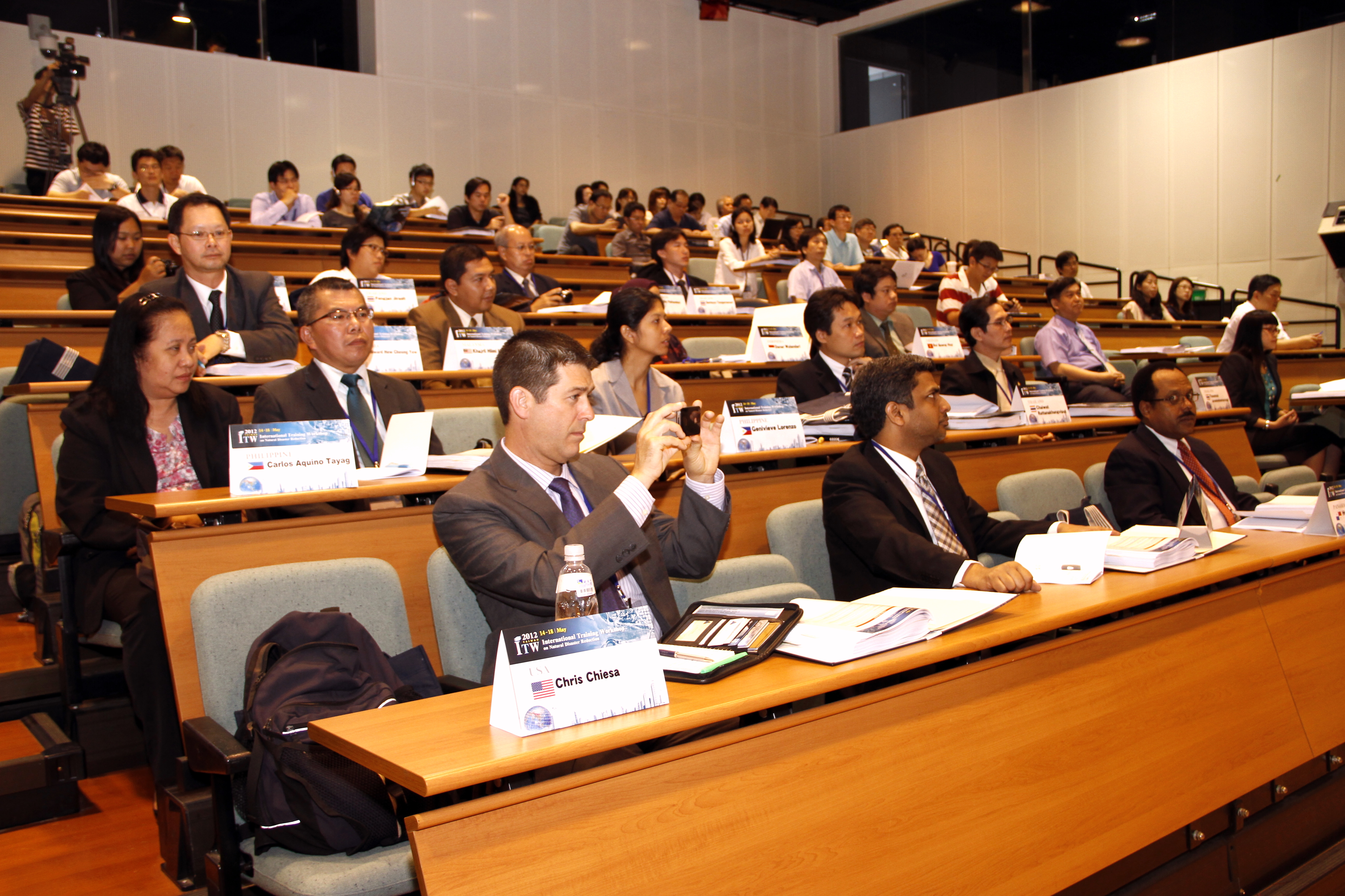
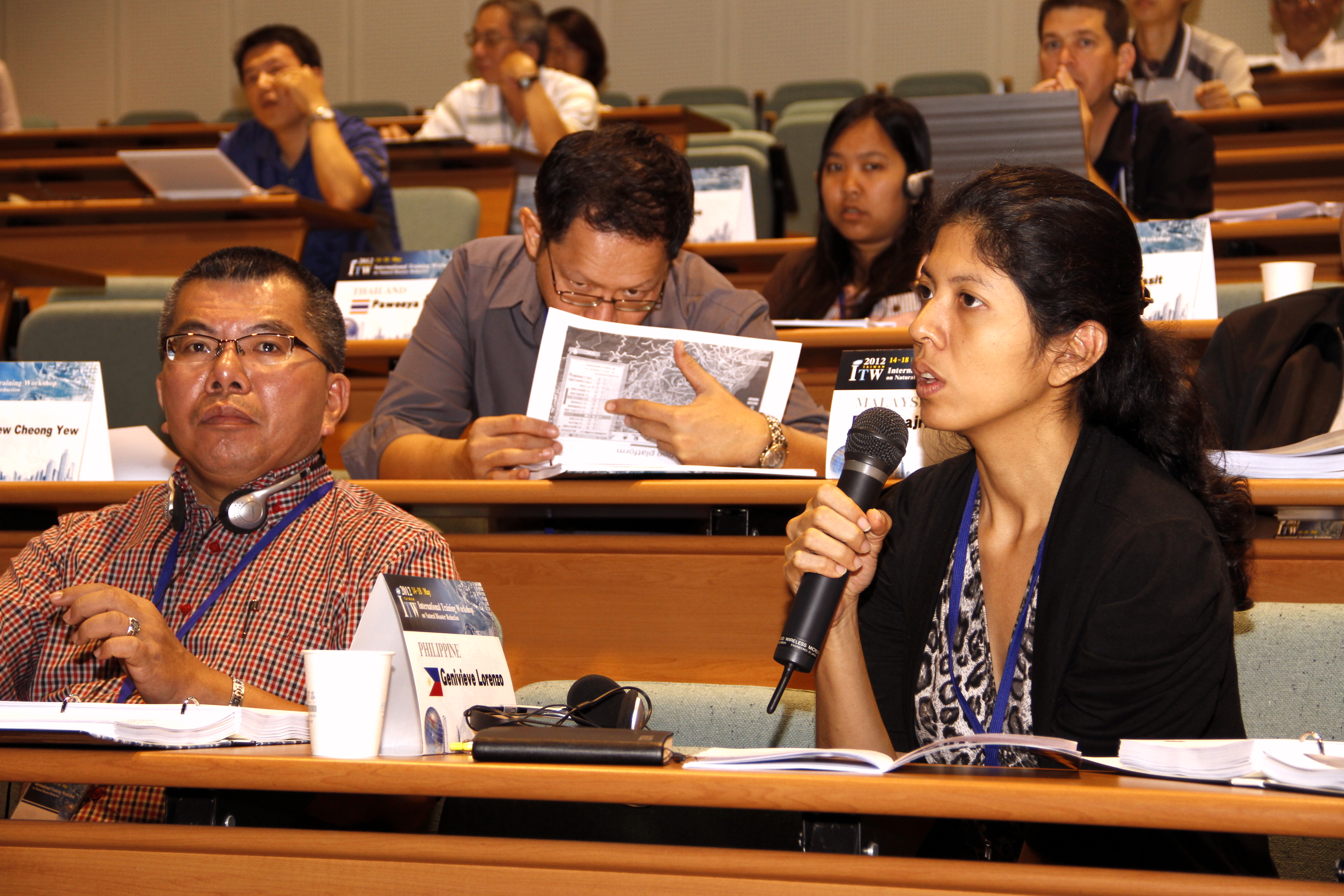
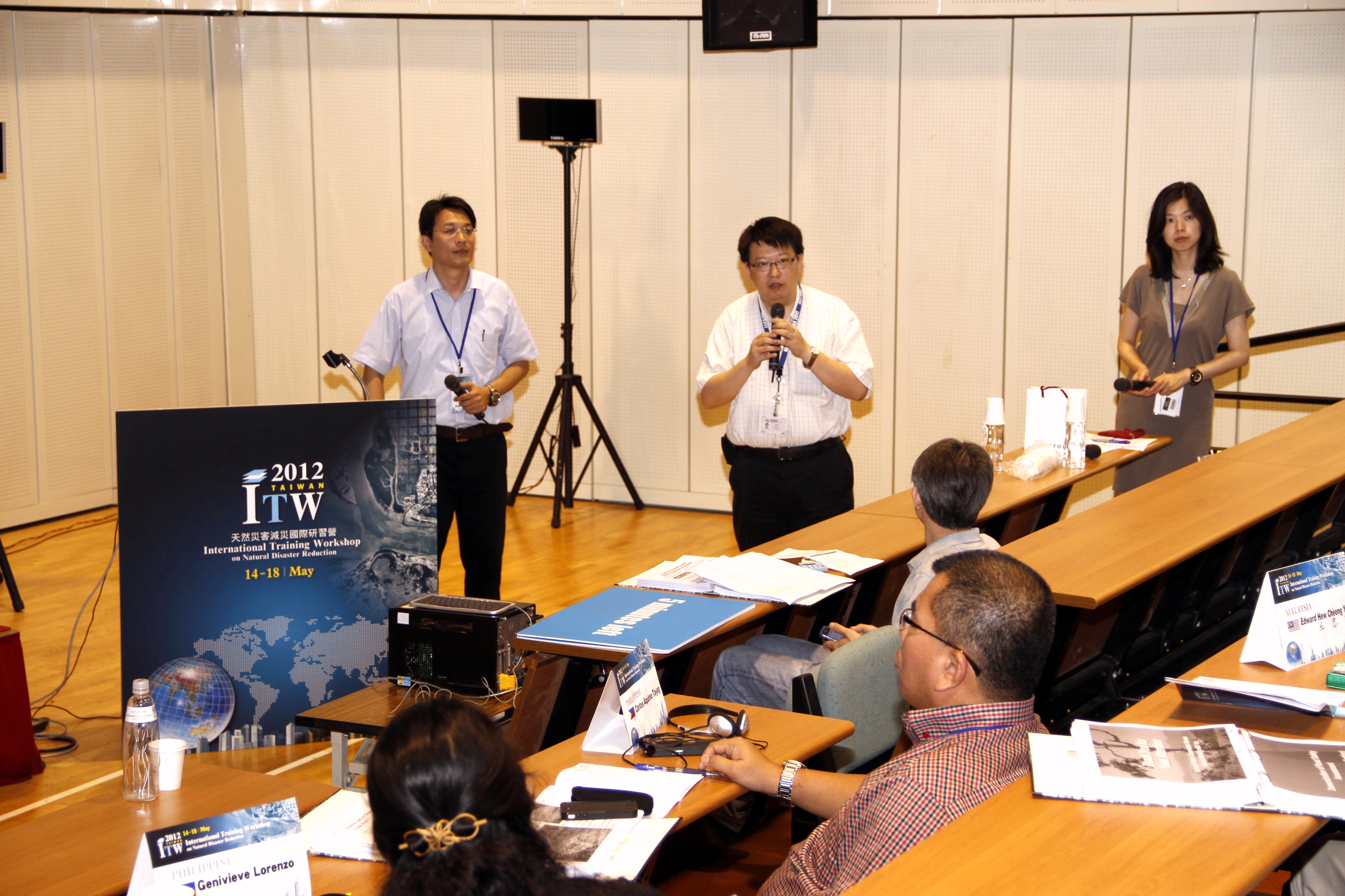
本屆研習營主題為「資訊技術於減低災害風險及緊急整備之應用」,內容將從如何完善國土基礎資料及強化環境監測之能力,發展災害潛勢分析技術,綜整靜態與動態的資訊,以建構全國性、區域性、或特定災害之防救災資訊系統,支援各級單位進行研判、分析及決策,以達到離災、防災、減災之效。過去十幾年來,世界各地飽受颱風豪雨所誘發洪水、坡地災害之苦,研究單位與各國政府無不在災害中學習成長。透過本研習營的舉辦,期將台灣經驗與各國分享,並提供一個平台給與會學員們進行經驗交流。 本次研習營議題的細節包括防救災資訊系統的建置規劃、問題、現況及未來展望,在災防資料的匯整説明上,包含數位化地形、地質、水文、土地利用、人口、交通、管線等國土基礎資料,及氣象、雨量、水位等環境監測資料。在災害防救系統建置方面,除了國家層級的災害防救決策輔助系統,亦有學界、產業界及各部會等因特定目的而建置的監測系統,如淹水、土石流、公路等預警系統。而新興技術如GIS分析及遙測影像於災情蒐集應用,也都將在本研習營說明討論。本屆研習營課程除了沿習以往的傳統,預留時間予學員們相互討論、分享各國的災害防救經驗,以及實務與文化的參訪,更加入實機的系統操作與應用課程於本屆研習中,使學員能在直接地系統操作時,發現問題,解決問題。


檔案下載
2012 ITW 中文議程
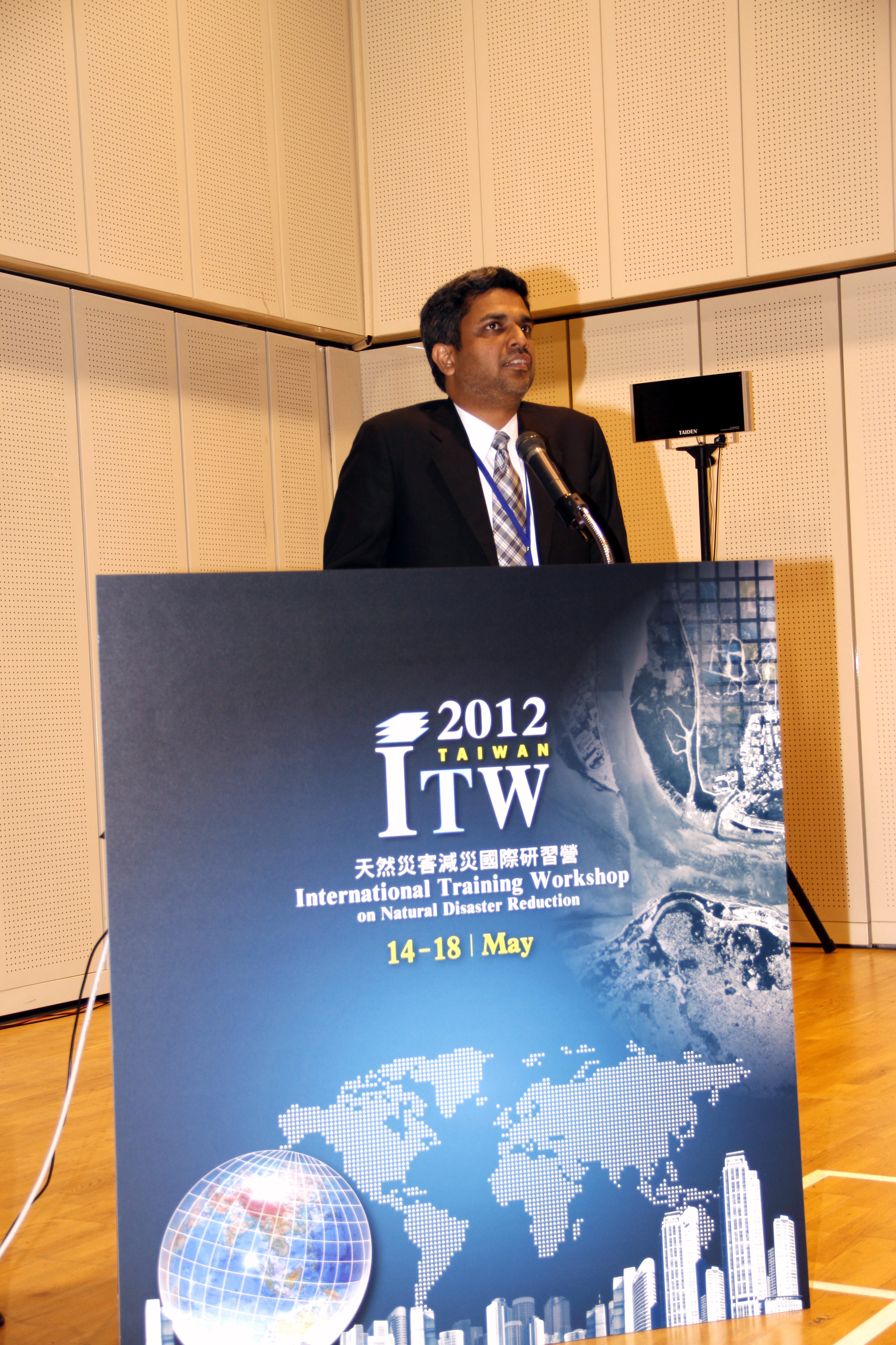
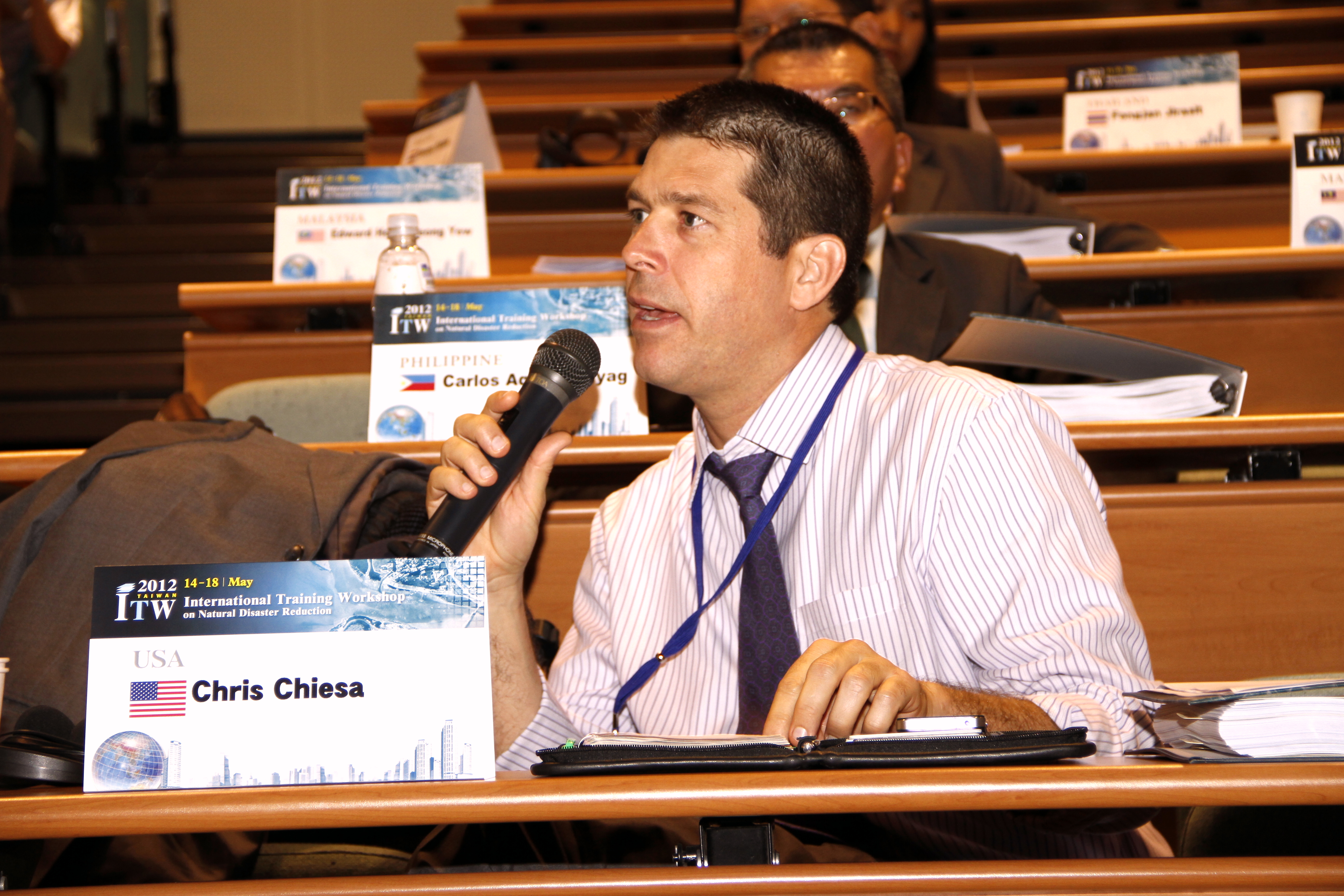
Pacific Disaster Center: Applying Information, Science and Technology in Support of Disaster Resiliency (Chris Chiesa, Deputy Executive Director, Pacific Disaster Center)
The Information Appetite (Manu Gupta, Chairperson of Asian Disaster Reduction & Response Network)
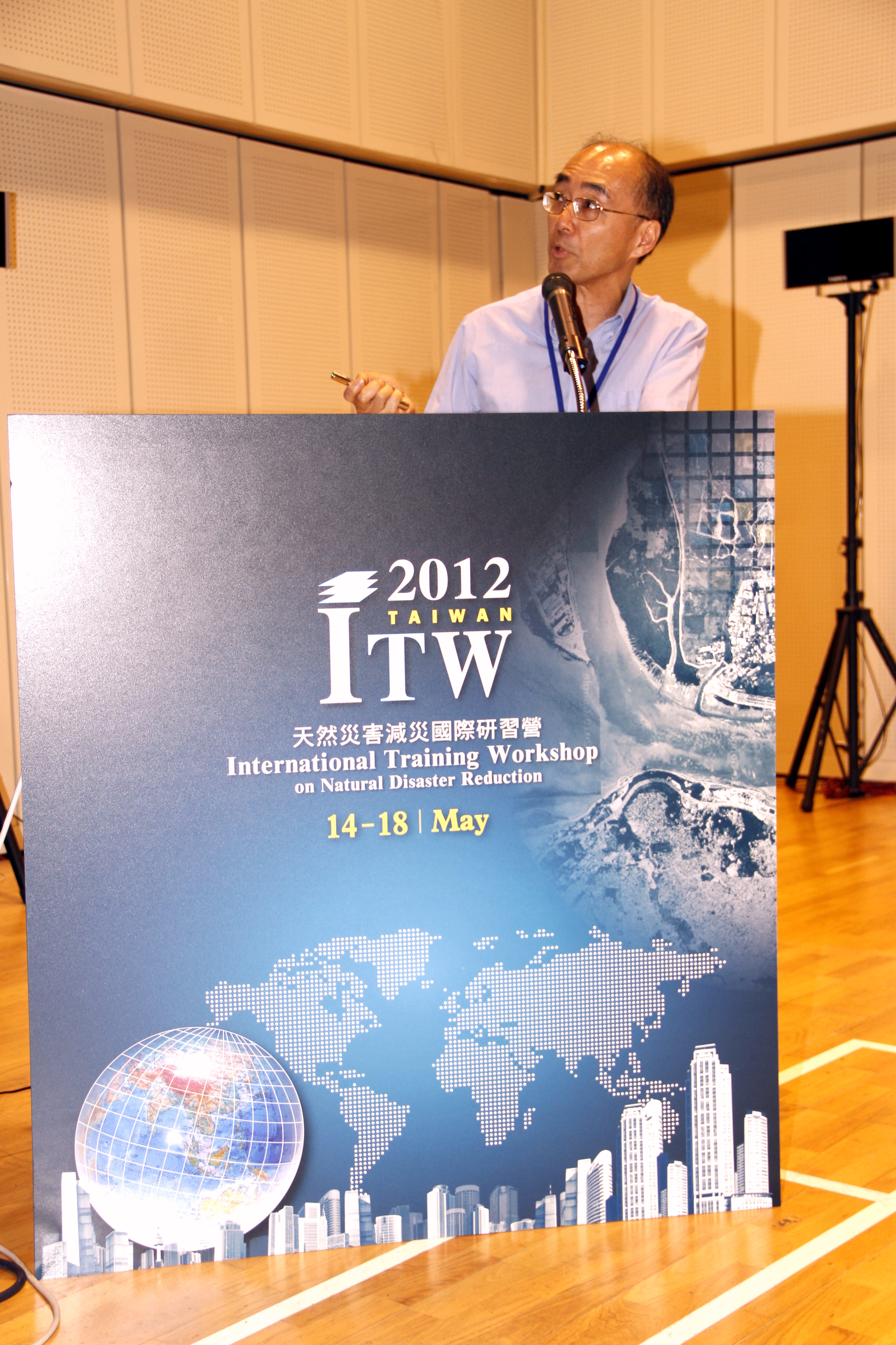
Overview of information technologies on disaster reduction in Taiwan (Hseuh-Cheng Chou, Division Head of National Science and Technology Center for Disaster Reduction)
Introduction of Taiwan Climate Change Projection and Information Platform Project (TCCIP) (Huang-Hsiung Hsu, Research Fellow of Research Center for Environmental Changes, Academia Sinica)
Satellite Remote Sensing Infrastructure for Disaster Mitigation in Taiwan (Liang-Chien Chen, Director of Center for Space and Remote Sensing Research)
FORMOSAT-2 in Support of Emergency Response (Bo Chen, Division Chief of National Space Organization)
Towards the Development of NGIS (Jung-Hong Hong, Prof. of Department of Geomatics, National Cheng Kung University)
What Kinds of Geological Hazard Data in CGS' Database (Li-Yuan Fei, Division Chief of Central Geological Survey)
Applying Severe Weather Information (Yeu-Woo Lin, Director of Planning Division, Central Weather Bureau)
Taiwan's Response Action to Flood Prevention (Ming-Chang Shieh, Director of Water Hazard Mitigation Center, WRA)
Early Warning System and On-site (Hsiao‐Yuan Yin, Section Chief of Soil and Water Conservation Bureau)
Early-warning mechanism for highway hazard mitigation during Extreme Weathers (Chin-Fa Chen, Directorate General of Highways)
2012 An open and interoperable disaster management system for Big Data (Tien-Yin Chou, Director of GIS Research Center, Feng-Chia University)
3D GIS Taiwan on Cloud Service (Whey-Fone Tsai, Research Fellow of National Center for High-Performance Computing)
The DENR-MGB Geohazards Mapping Program – Minimizing Risk on Disaster For Safer Communities (CARLOS A. TAYAG, Regional Director, MGB Regional Office No. I)
Thailand -RMUTL
Panama (Humberto BROWN)
Tropical Storm Sendong (Dr. Ando Siringan, MSI, Manila Observatory)
panahon
Role and Responsibility of NDWC (Thanonnat (Korn) Jaroenwimonnaragul, Director of Technical and Disaster Warning System Development Group National Disaster Warning Center (NDWC), Office of the Permane
THE USE OF ICT IN DISASTER MANAGEMENT THE MALAYSIAN EMERGENCY COMMAND CENTER PROJECT (Khajril Hilmi Mokhtar)
INTRODUCTION TO MERCY MALAYSIA (Edward Hew Cheong Yew)
Lesson learn on Application of InforTech on Disaster Management in Vietnam (Bui Quang Huy, Chief of Information and Statistic Division)
Technology, Disaster Management and the Future (Dr. Jemilah Mahood, President of Mercy Malaysia)
Building resiliency, providing response and driving recovery in times of mass-collaboration and networked intelligence (Gisli Olasfsson, Emergency Response Director of NetHope)
Crowdsourcing and Open Platform (Slayer Chaung, Manager of Department Manager, Academia Sinica/ITRI) for Disaster Management
Hands on exercise—Hazard Map and its application (Chy-Chang Chang, Google Earth Basics/ Tingyeh Wu, Potential Map)